|
| *****SWAAG_ID***** | 259 |
| Date Entered | 03/08/2011 |
| Updated on | 22/08/2012 |
| Recorded by | Tim Laurie |
| Category | Settlement |
| Record Type | Archaeology |
| Site Access | Public Access Land |
| Record Date | 01/01/2005 |
| Location | Greenber Edge |
| Civil Parish | Bainbridge |
| Brit. National Grid | |
| Altitude | 420m |
| Geology | Gritstone Edge, south of Addlebrough above outflow to Ice Dammed Lake |
| Record Name | Multi period settlement complex extending over a distance of 1km east from Stony Raise Cairn |
| Record Description | Stone walled settlements comprising an open settlement of at least five round houses overlain by later settlements recognisably constructed during at least two and probably three phases with rectangular buildings and associated paddocks and enclosures. Several 'wall passage' features are present within the enclosures. The function of these
'wall passage' features has not been identified, but they are likely to have been roofed with btanches and turf as 'cool stores' for sheep milk and cheese.
For details of these settlements, see RCHME Survey and Keith Blood and Derek Cater, 1996. RCHME Archaeological Survey Report NMR nos SD98NE,1,6, 201-4.
Bibliography:
Mark Bowden and Keith Blood. 2004. Reassessment of two late prehistoric sites: Maiden Castle and Greenber Edge. In: R.F.White and P.R.Wison Eds. Archaeology and Historic Landscapes of the Yorkshire Dales. Yorkshire Archaeological Society Occ.
Paper No 2.pp 89-97. |
| Dimensions | 1km east from Stony Raise Cairn |
| Additional Notes | For details of the various archaeological sites in the vicinity of Semerwater and of Addlebrough, see Laurie, T.C. and Minnitt, R.,1993. In: Prospectus for Prehistoric Society to Western Yorkshire, Ripon 1993.pp27-43. |
| Image 1 ID | 915 Click image to enlarge |
| Image 1 Description | Yorkshire Archaeological Society visit to Greenber Edge. July 31st 2011. | 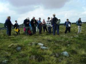 |
| Image 3 ID | 916 Click image to enlarge |
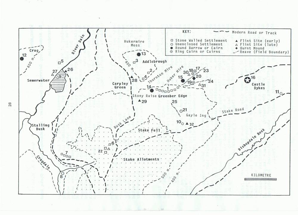
| Image 3 Description | Location of Sites in the vicinity of Addlebrough and Semerwater. Laurie and Minnitt, 1993. | 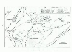 |
| Image 4 ID | 917 Click image to enlarge |
| Image 4 Description | Stony Raise Cairn and western extremity of the settlements, Settlement Complex D. Google Image. | 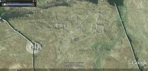 |
| Image 5 ID | 918 Click image to enlarge |
| Image 5 Description | Stony Raise from the west. | 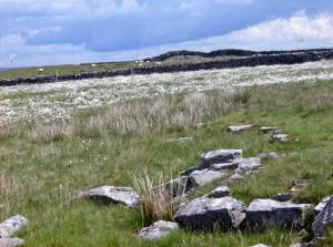 |
| Image 6 ID | 920 Click image to enlarge |
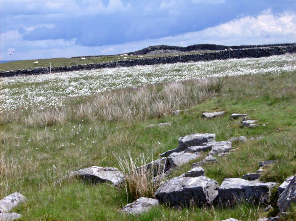
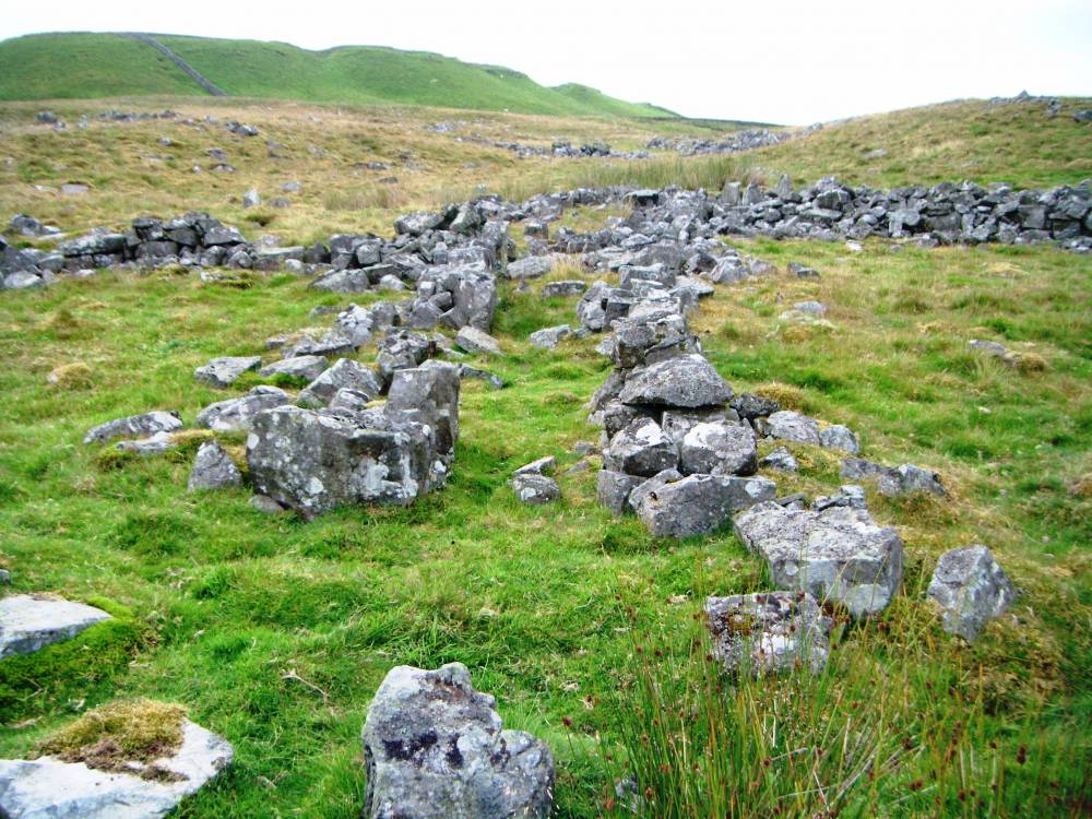
| Image 6 Description | Greenber Edge settlements view west towards Stony Raise. |  |
| Image 7 ID | 921 Click image to enlarge |
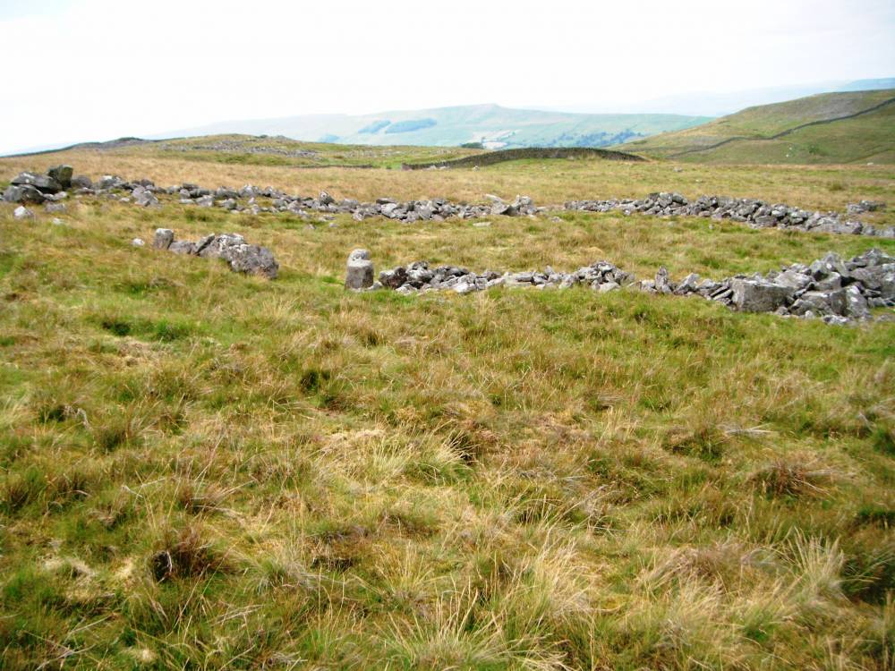
| Image 7 Description | Settlements and rectangular building. |  |
| Image 8 ID | 922 Click image to enlarge |
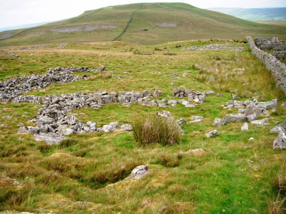
| Image 8 Description | Rectangular two roomed building. These undated rectangular buildings are probably of medieval date. | 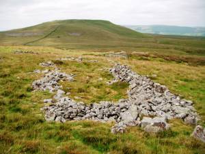 |
| Image 9 ID | 923 Click image to enlarge |
| Image 9 Description | Wall passage feature | 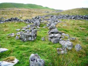 |
| Image 10 ID | 925 Click image to enlarge |
| Image 10 Description | Excavated circular hut, one of a group of similar conjoined huts which may be of native roman date, unpublished excavation. | 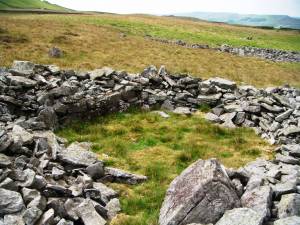 |